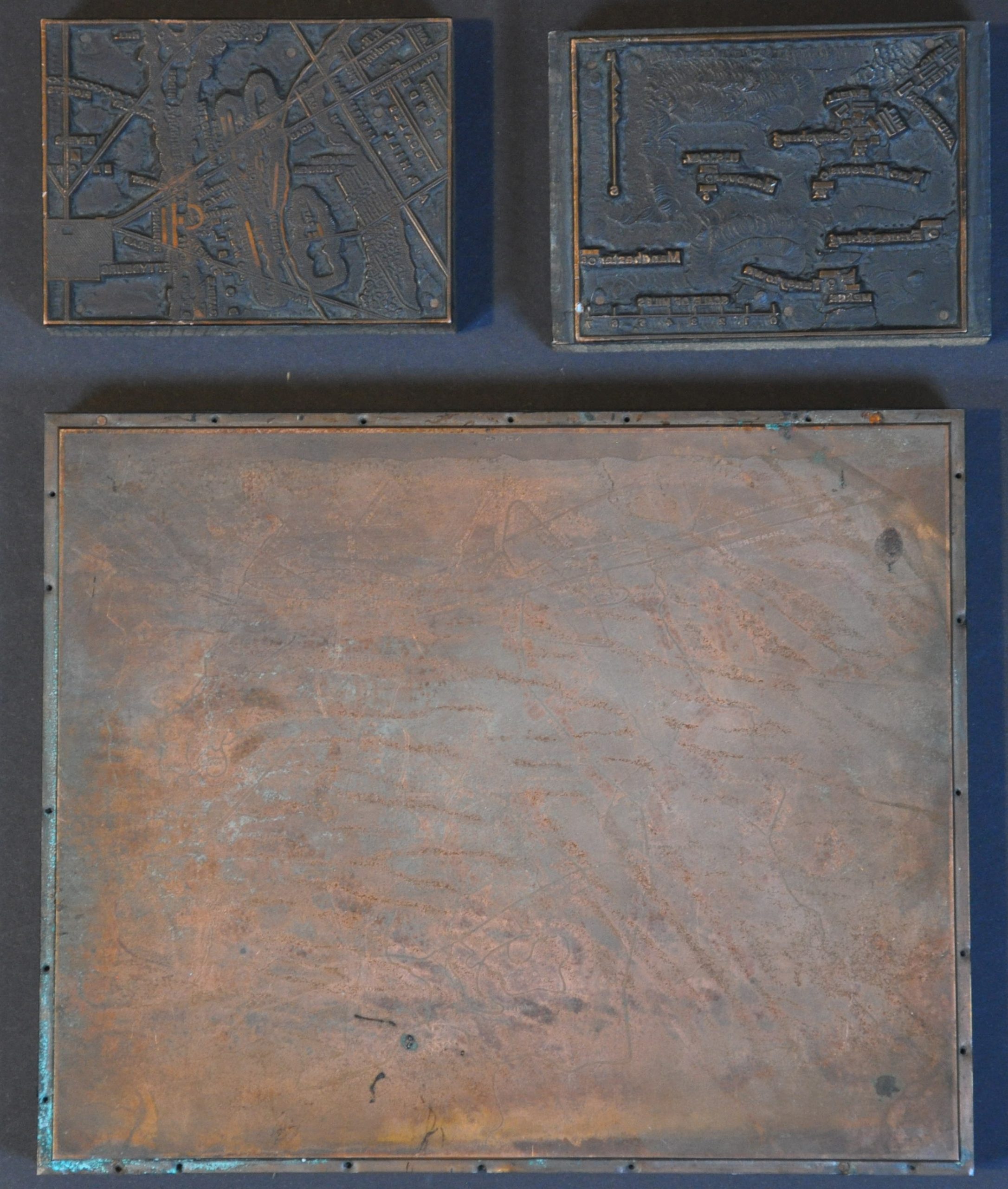
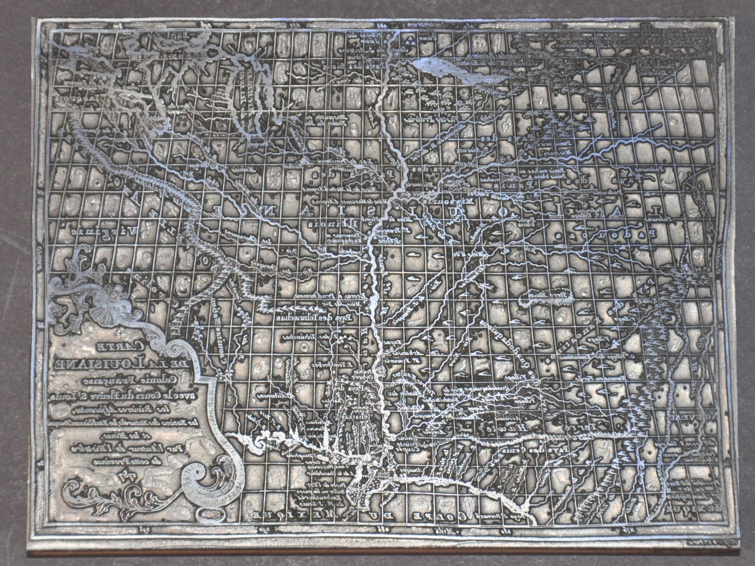
This assortment of 20th-century print blocks used different printing methods to replicate maps of the Battle of Gettysburg. The largest (about 8″ x 6.5″) and most detailed of the trio is a delicately etched copper plate that mimics, in many ways, a tourist map first introduced by George Buohl in the mid-1930s. The town of Gettysburg is situated in the upper corner, with an oblique view highlighting the nearby network of vital transportation routes, landmarks, and prominent geographic features. Many of the memorials features in Buohl’s maps are omitted in this example, which also features the orientation along the upper edge (rather than a compass rose). The second two blocks, each about 2.75″ x 3.5″, use the relief style to replicate two further images of the critical engagement. The smaller-scale map notes the dispositions of key units under the command of various Union and Confederate officers. The accompanying plan notes similar information in the immediate vicinity of Gettysburg, using hachures to emphasize local topography.