Invasion and Total War Victory Maps [Title on Verso]
$14.13
$24.16
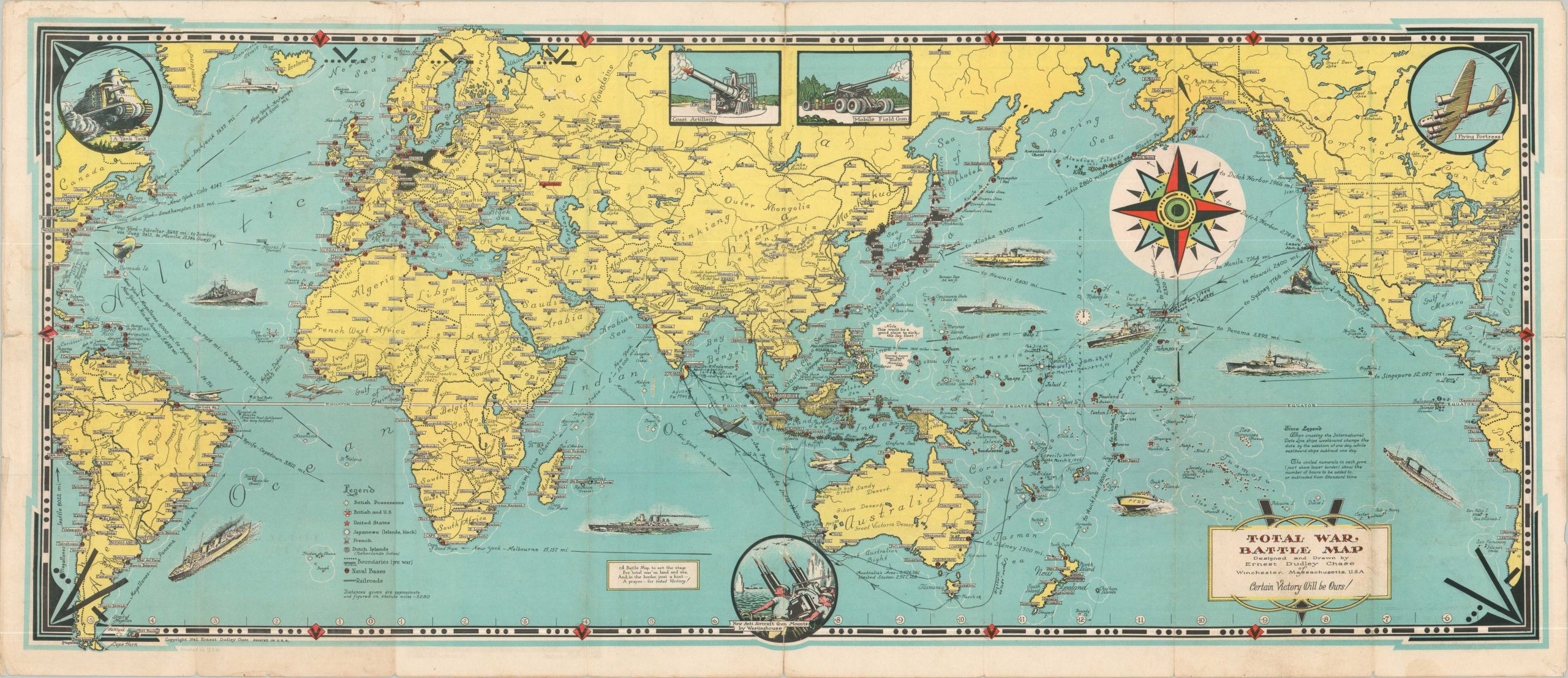
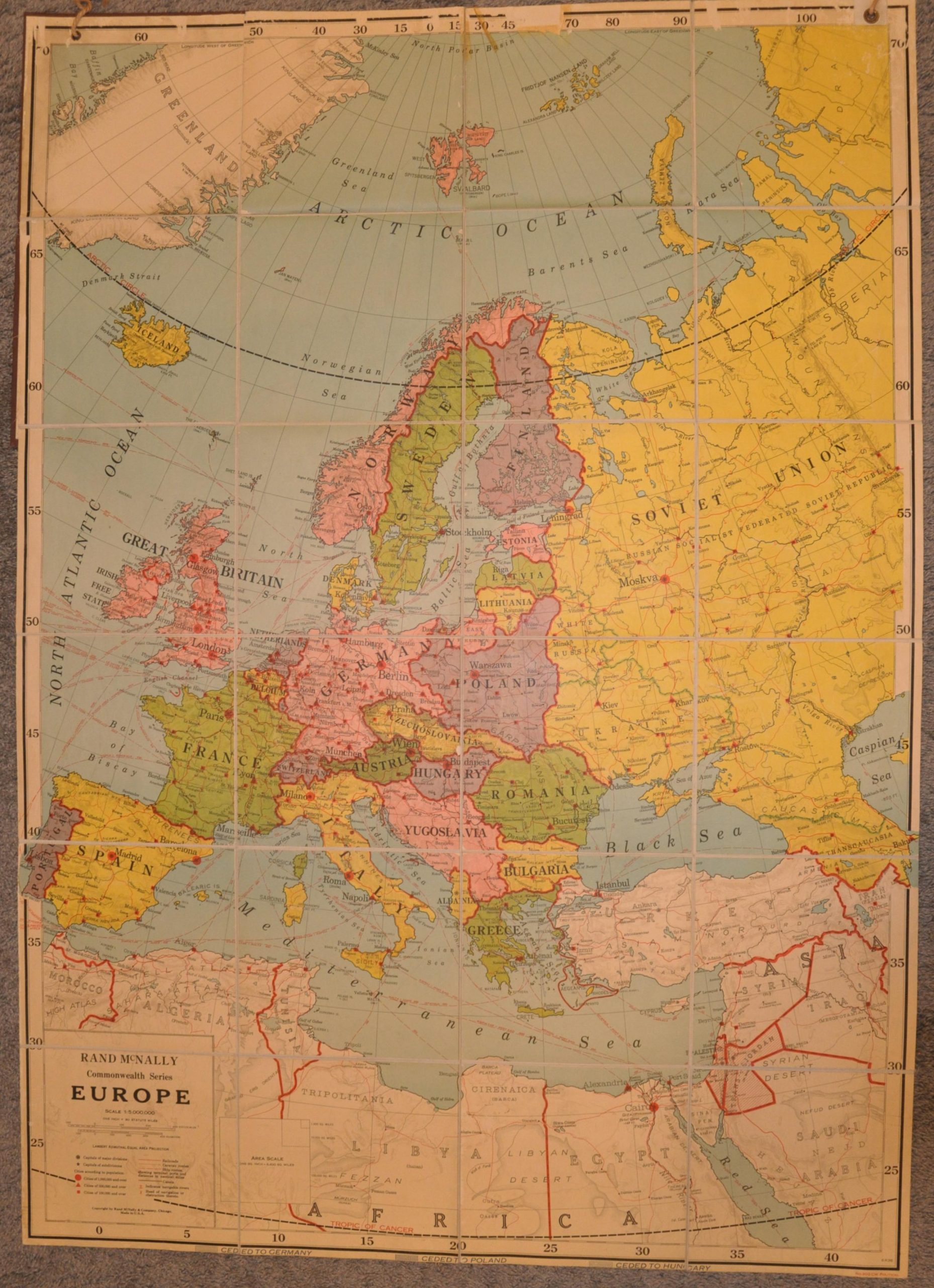
This spectacular patriotic folding map from 1942 shows the global conflict unfolding throughout the world, centered on the Pacific Theater. German and Japanese countries and occupational regions are colored in black (though not Italy) and a legend identifies the locations of Allied naval bases, colonial possessions, railroads, and political boundaries. America’s vehicles of war prowl the seas, including submarines, fighter planes, transports, warships, and PT boats. Inset illustrations show further military hardware in the form of (somewhat inaccurate) tanks, coastal batteries, mobile artillery, anti-aircraft, and the Flying Fortress. Annotations throughout the map provide information on the International Date Line, distances across the Pacific, and geographic features to aid the audience in comprehending the geopolitical situation of the war. A small text box also alludes to a hint in the border – the Morse Code symbol for the letter “V” – for Victory! On the verso is a similar style map of Europe and North Africa, with insets of the English Channel and Italian Peninsula. The image is surrounded by a border of the various ranks attainable in the United States Navy, Marines, and Army. Copywritten and published in 1942 by the talented cartographer Ernest Dudley Chase.