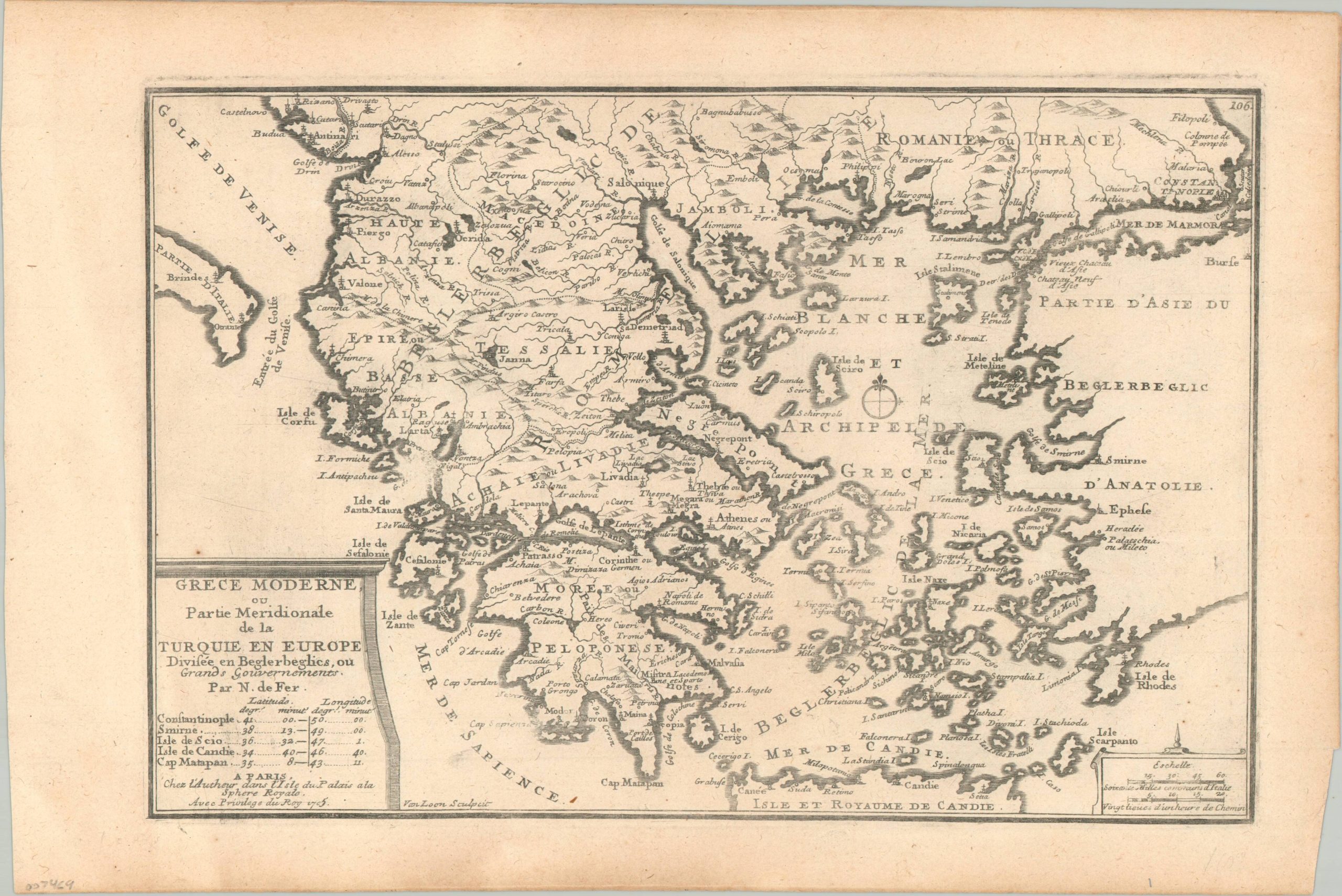
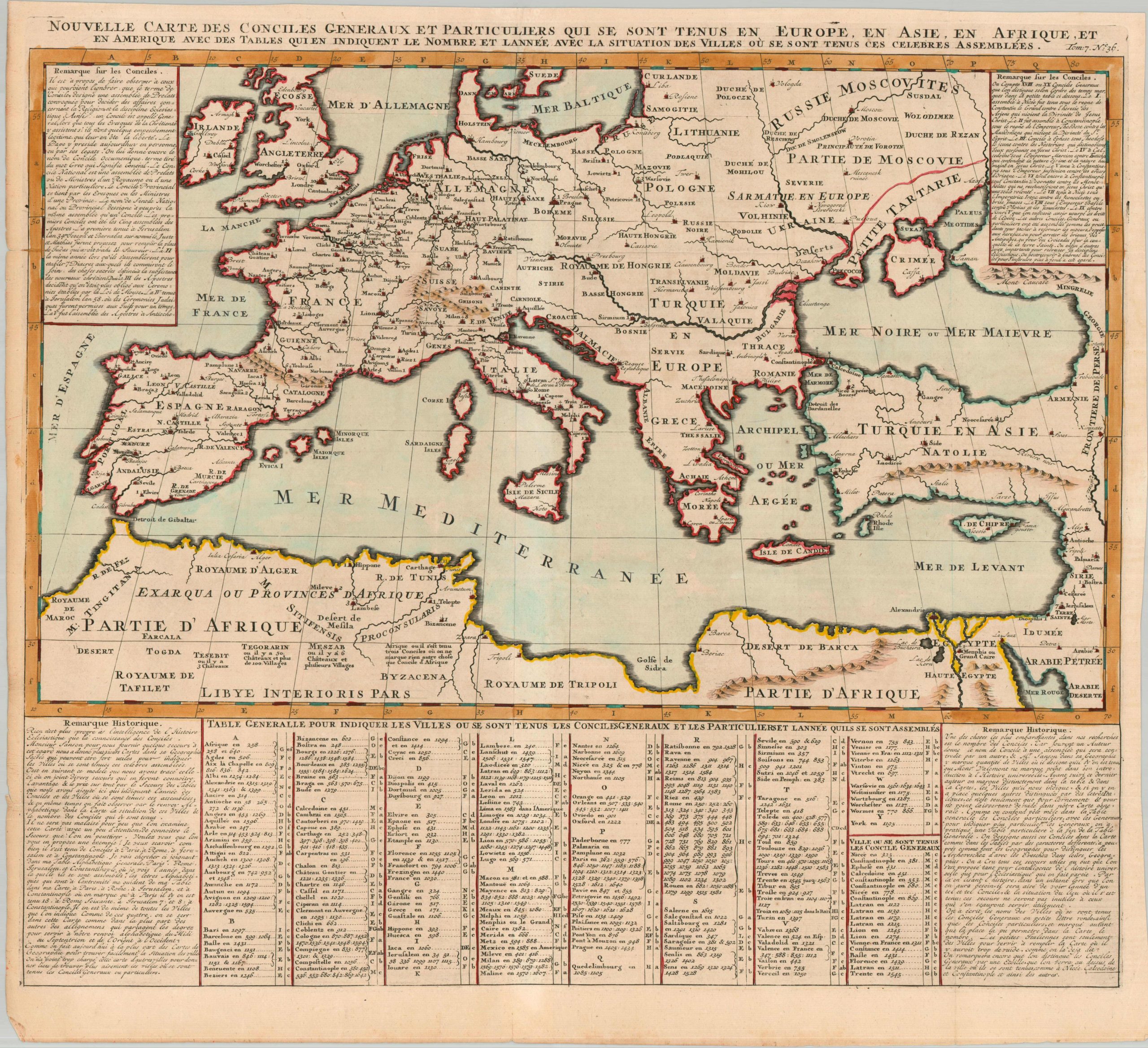
Nouvelle Carte des Conciles Generaux et Particuliers qui se Sont Tenus en Europe, en Asie, en Afrique, et en Amerique, ave des Tables qui en Indiquent le Nombre et Lannee avec la Situation des Villes ou se Sont Tenus ces Celebres Assembles
$24.97
$34.71
New Map of the General and Particular Councils Held in Europe, Asia, Africa, and America, with Tables Showing the Number and Year with the Location of the Cities were These Famous Assemblies Were Held – Approximate title translation. This engaging map of Europe and the Mediterranean world was designed to highlight the spread of Christianity and the official establishment of its doctrine and administration. Dozens of locations are listed – all hosts of ecumenical councils at some point between the first (held in Jerusalem in 34 A.D.) and the most recent (Warsaw in 1643). A table at the bottom of the page lists the various cities and the respective dates in which different assemblies were held (including Mexico City, 1585, the only reference to America), while blocks of text in the corners offer further details on the historic organization of the Christian church. The copperplate-engraved sheet was originally published in Paris as part of Henri Abraham Chatelain’s important Atlas Historique. This monumental seven-volume set was first issued in Amsterdam between 1705 and 1720, but was reprinted in numerous editions until the late 1730s. The scholarly, but approachable, work was aimed at a broad audience, eager for new information during the Age of Enlightenment. The breadth of content offers a nuanced synthesis of geography, cosmography, history, religion, ethnology, and political science. The descriptive text (in French) and skillfully engraved maps, diagrams, and illustrations provide a fascinating window into the world of the early 18th century.