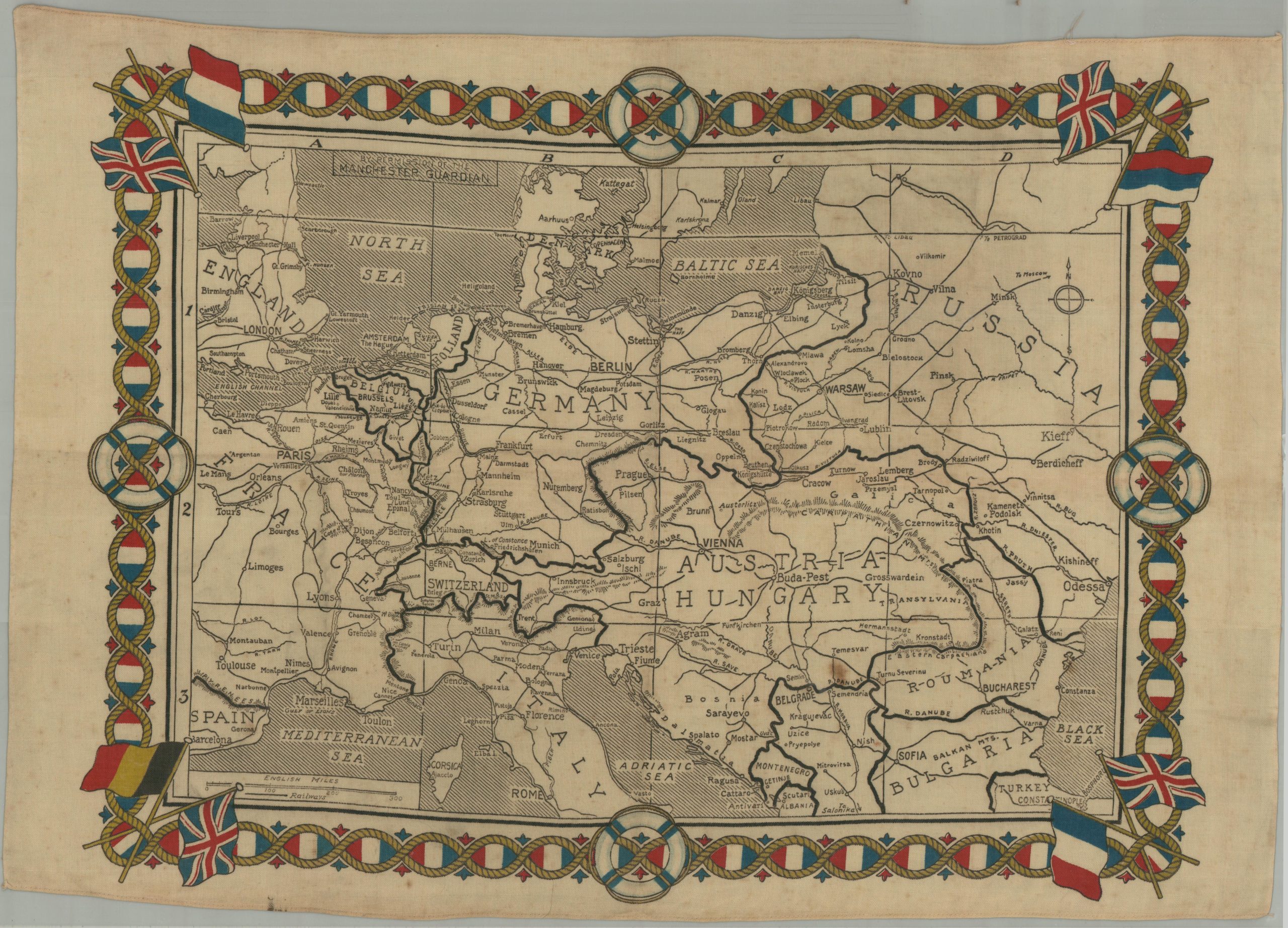
This commemorative handkerchief covers a large area around the eastern Mediterranean that was the scene of much bloodshed during the first two decades of the 20th century. Though apart from the naval motifs and political nature of the map, there is little to indicate that it was a wartime souvenir. An inset in the lower right shows the area around the Gallipoli Peninsula (a big hint), while steamship routes, international boundaries, and major features (including the 1855 victory at Sevastopol) are labeled. Topography is depicted with faint hachures, giving only the barest impression of the rugged terrain. The Dardanelles campaign, launched in April 1915, was an Allied attempt to seize control of the Dardanelles Strait, open a sea route to Russia, and kick the Ottoman Empire out of World War I. Around 500,000 troops, mostly from Britain and its empire, landed on the shores of the Gallipoli peninsula to fierce resistance, inadequate supply, and limited strategic intelligence. The campaign was a debacle, resulting in total evacuation by January the following year. Source: Imperial War Museum; Example at IWM;