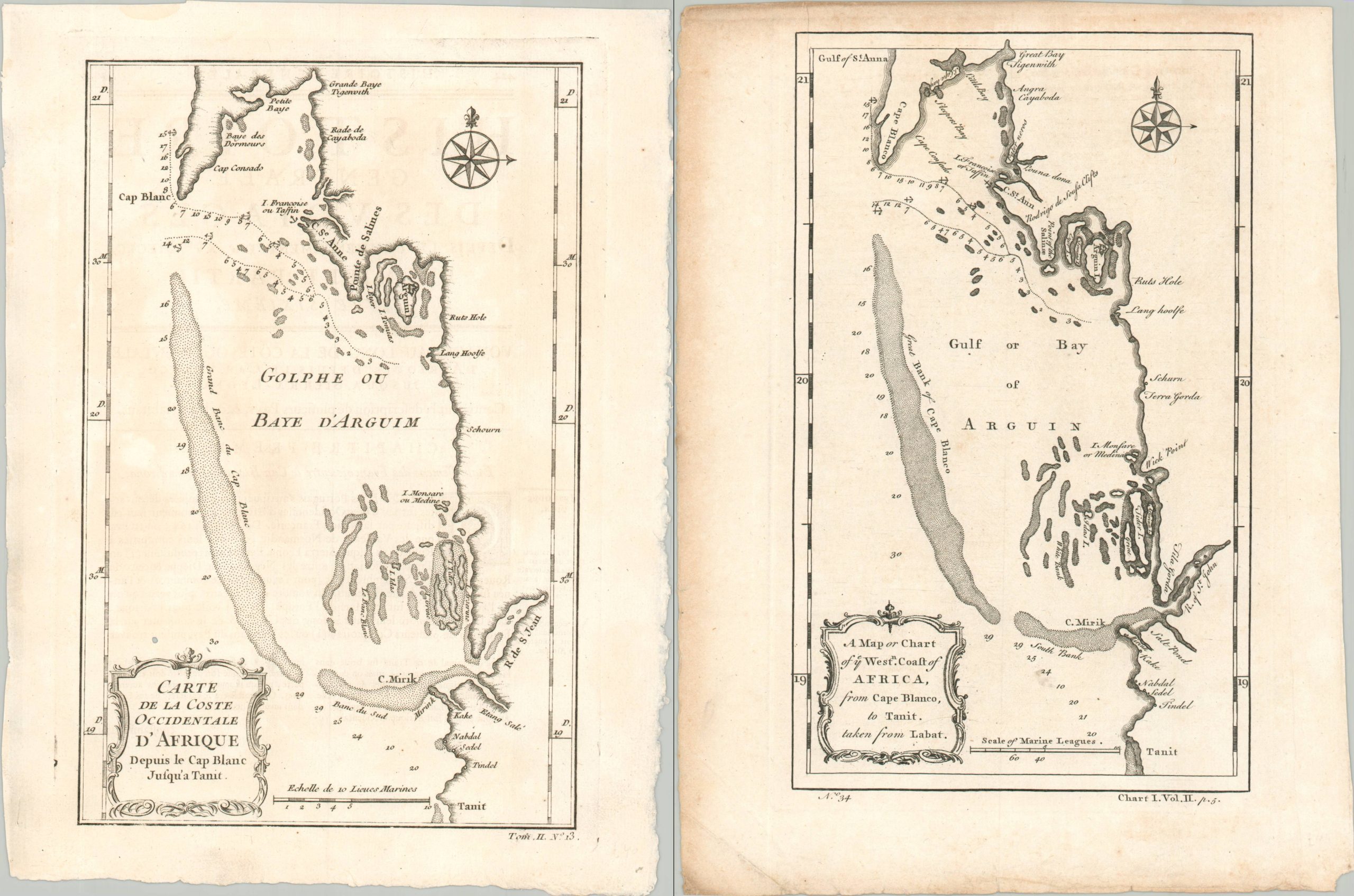
A New and Correct Map of the Coast of Africa from Cape Blanco to the Coast of Angola
$18.96
$28.25
This important and interesting map of Africa was engraved by Richard Seale and published by John Hinton in the Universal Magazine of London in 1743. This map covers the west coast of the continent from Cape Blanco and the Senegal River southwards past Sierra Leone, the Grain Coast, the Ivory Coast, the Gold Coast, the Waydah, Benin, Calabar, the Seven Hill, and Majuba, to Angola. An inset in the upper right quadrant details portions of the coastline and interior of the Gold Coast. Of obvious interest are the trading factories and forts, which belonged to a variety of European powers interested in the extraction of gold, ivory, pepper, and slaves. Notable examples include the Cape Coast Castle, Olango, Elmina, and Ouidah. The settlements were relegated primarily to the coast, but a few incursions by the French and British are visible along navigable rivers like the Gambia, Senegal, and Volta Rivers. Seasonal wind variations are also noted.